Enchanting woodland and wild garlic


Turn right out of the car park, then right again to descend Stansfield Mill Lane. Cross the river and climb until meeting a gap in the stone wall before the bridge. Turn right and you will pass many an animal; I was pleased to see the pig still happily occupying his plot that I had previously seen several years ago. It’s very muddy, therefore gaiters are a must for this ramble!
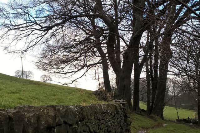
Follow the valley floor through an enchanting woodland; with wild garlic plants almost ready to flower. At the second railway bridge climb up onto the higher path on the right. You will follow a high ridge with the railway line far below to your left, and the river to your right. At the next bridge, cross it, ignore the Calderdale Way link path way marker indicating left and instead go right. This leads to a private road [also a footpath] which ultimately leads you to Ripponden.
Advertisement
Hide AdAdvertisement
Hide AdAt Ripponden follow the Calderdale Way [CW] along Priest Lane, cross the main road and continue up Royd Lane. Opposite a bus stop there’s a clear CW way-marker on the right. I passed bedraggled crocus plants trying to revive themselves after the recent snowfall. When the path bends obviously to the left, instead continue through the gap in the metal gate [there’s a faint yellow CW sign on the stone]. This section is clearly waymarked, and has lovely views to see. You will follow the CW up to Soyland, where you turn right at the road, and then right again down a walled pathway which, for me, was thigh-deep in snow! You meet a track, continue right until another way marker on the left where you enter a field and begin a descent, becoming increasingly steep. Here I met a very friendly flock of sheep who trotted over to meet me.
The descent is very steep into Mill Bank, especially perilous in snow. At the bottom, turn right on the road past some gorgeous cottages and the former Soyland Mill. Just before the river [GR SE 035 211], the CW continues to the left, climbing gently through a beautiful woodland, passing derelict buildings that once were part of the mills. You reach a curve in a road, turn right and follow it until it meets another road junction. Continue along Eccles Parlour [the road opposite] and past the Christmas tree farm. With views of Christmas trees to your left; turn right at a way marker [Reservoir Road] then left at the next one, following the bridleway. Passing Flints Hall to your left, turn right at the bridleway junction which then descends towards a road. Turn left on the road, and as the road bends sharply, follow the waymarked path straight ahead [SE 016 219], through almost a ‘funnel’ in the land. Reaching a way marker above, turn right. Here, due to farm vehicles blocking the way and gates being padlocked, I became confused, re-tracing my steps only to discover I’d been right in the first place. The bridleway passes behind the farmhouse, between the house and outhouses behind. Go through [or rather, climb over] the gate, climb steadily until reaching a way marker [SE 020 229] that at least reassured me of my determination that this was the right way! Here you can climb up left along a clear path to reach the trig point – highly recommended; offering wonderful 360-degree views including good-old Stoodley Pike. I descended via the right-hand path directly beneath, following the edge of the field next to a wall, going through farm gates at the bottom to emerge onto the road. I completed the route via country lanes; left along Shaws Lane, right onto Toot Hill Lane, left onto Thunderton Lane, left onto Plain Lane to Rooley Lane, right onto Upper Field House Lane and a final descent via Butterworth Lane back to the main road, where the start point is to your right.