Best Foot Forward: Rishworth Moor


The upland moors of the South Pennines are now officially recognised as important sites of special scientific interest. It’s a sparse landscape of heather, grasses, bilberry, cotton grass and crowberry, where birds such as the merlin and the golden plover still thrive.
The only thing that’s lacking, apart from trees, is people. You can stride out across these moors for mile after mile without seeing another walker.
Advertisement
Hide AdAdvertisement
Hide AdFrom the Baitings reservoir car park, walk left down the road.
Fifty yards after crossing the beck, take a gate in the wall on your right (signposted to Booth Wood reservoir).
Follow a tumbledown wall uphill towards the left-hand side of Blackwood Farm.
Walk between the farmhouse and an outbuilding, to a gate at the top of the farmyard.
Advertisement
Hide AdAdvertisement
Hide AdWalk up the next field to a stile and continue steeply uphill, following the wall to your right.
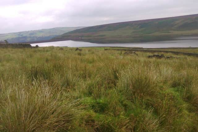
Look for views of the Ryburn Valley, as you crest the hill and arrive at a ladder stile, next to a gate in the wall.
From here you strike off to the right, across rough moorland; the path is distinct but narrow.
Keep straight ahead at a yellow-topped post (you will see others on your route).
Advertisement
Hide AdAdvertisement
Hide AdWalk roughly parallel to the M62, heading just to the right of a tall mast on the far side of the motorway.
At the next waymarker stick, bear slightly right, on a less obvious path.
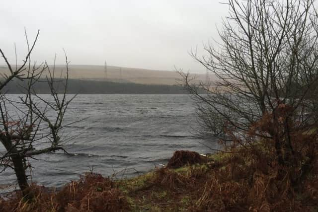
As you start to walk downhill you have good views down to Green Withens reservoir ahead.
Descend to cross a side-beck on a little plank bridge, to meet the reservoir drainage channel.
Advertisement
Hide AdAdvertisement
Hide AdTake a bridge over the channel and walk right, following this watercourse towards the reservoir.
About 300 yards before the reservoir embankment, take a bridge back over the channel (marked Blackstone Edge and Baitings’).
Bear slightly left to follow a path uphill - soon quite steeply - before it levels out and bears left around Flint Hill.
The view behind you recedes; ahead is the Upper Ryburn Valley. Descend to a water channel on your left and a fork of paths.
Advertisement
Hide AdAdvertisement
Hide AdGo right here (a sign indicates Baitings reservoir), continuing to skirt the hill on a good, level path.
Keep left, where the path forks, to begin a gradual descent towards Baitings reservoir.
When you come to a wall corner, keep straight ahead, following the wall on your left.
Soon you are on a walled track, passing through two gates and finally emerging at the little car park above the reservoir.